Storm Chances Spike Tuesday Before 90-Degree Heat Returns

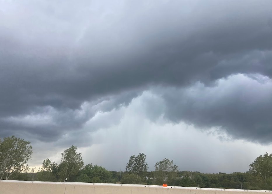
Maryland is in for a stormy start to the week as rising humidity brings multiple chances for rain and thunderstorms, including the potential for severe weather Tuesday.
Monday will begin with muggy conditions and a chance of spotty rain. Temperatures are expected to climb into the mid-to-upper 80s by the afternoon as scattered showers and thunderstorms develop. Some storms could bring gusty winds, heavy rainfall and frequent lightning. Residents should move indoors as soon as thunder is heard.
Storm chances will increase significantly on Tuesday. One round of rain and thunderstorms is expected during the morning and early afternoon, followed by the possibility of another round later in the afternoon and evening.
Some storms could become severe, with damaging winds posing the greatest threat. Heavy rain and lightning may also create hazardous conditions. Outdoor lunch plans and the evening commute could both be affected.
Additional showers and thunderstorms are possible Wednesday, particularly in areas south of Baltimore.
Conditions are expected to gradually dry out Thursday and Friday as warmer air moves back into the region.
Afternoon temperatures will rise into the upper 80s and lower 90s toward the end of the workweek and into the weekend. Increasing humidity could make it feel like the mid-90s in some areas.
Along with the hot and muggy conditions, scattered showers and thunderstorms may return during the weekend. Residents should continue monitoring the forecast for updates on Tuesday’s severe weather threat and weekend rain chances.
Storm Chances Spike Tuesday Before 90-Degree Heat Returns was originally published on 92q.com